Research Interests
Mapping coconut plantations on Pacific atolls
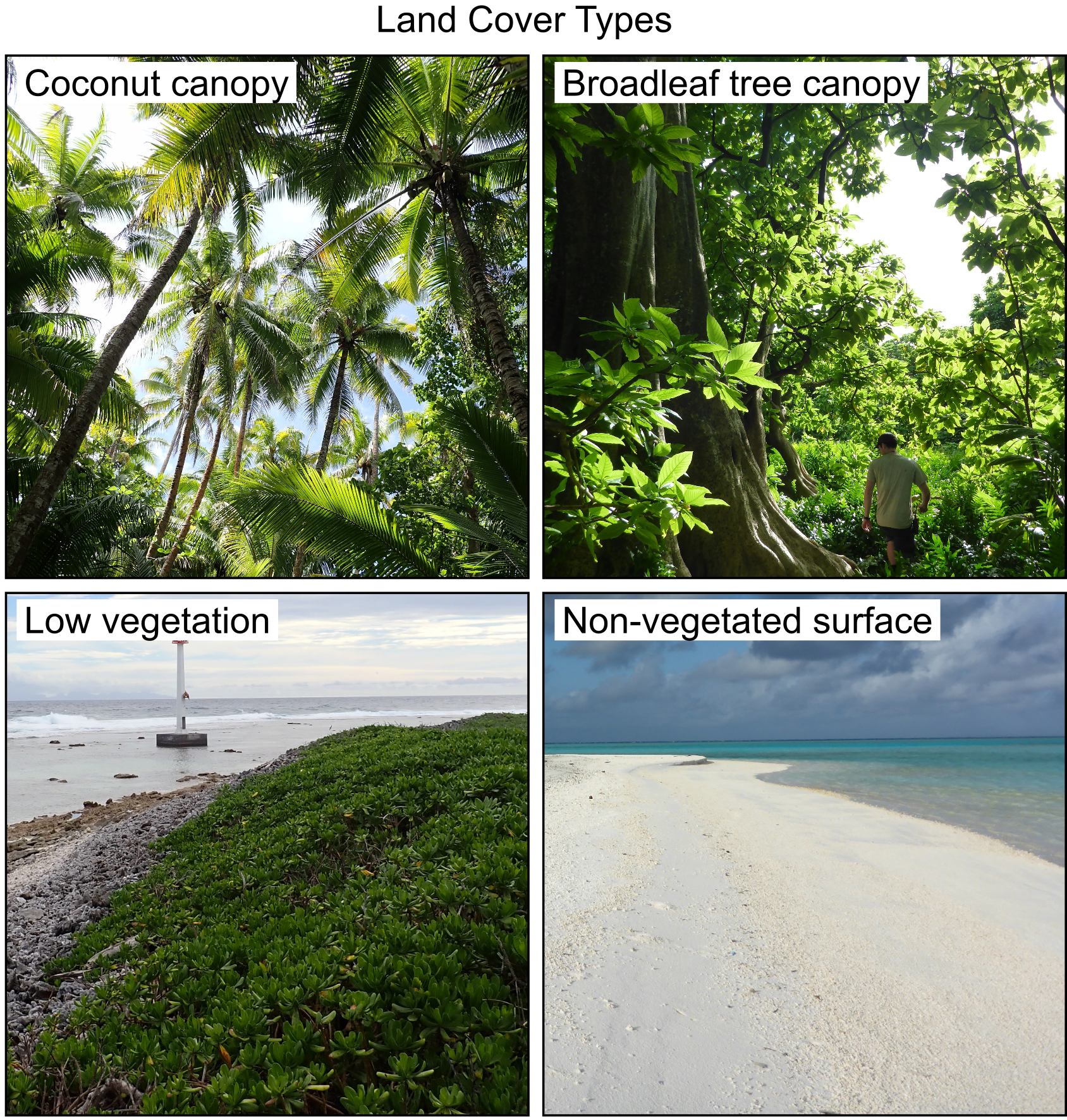
Coconut palms are perhaps the most important plant in the tropical Indo-Pacific. After centuries of cultivation by indigenous atoll societies, colonial plantation enterprises replaced vast tracts of native atoll forests with coconut monocrops between the late 18th and mid-20th centuries. Most of these plantations are now abandoned and overgrown, disrupting natural processes critical to atoll ecosystems.
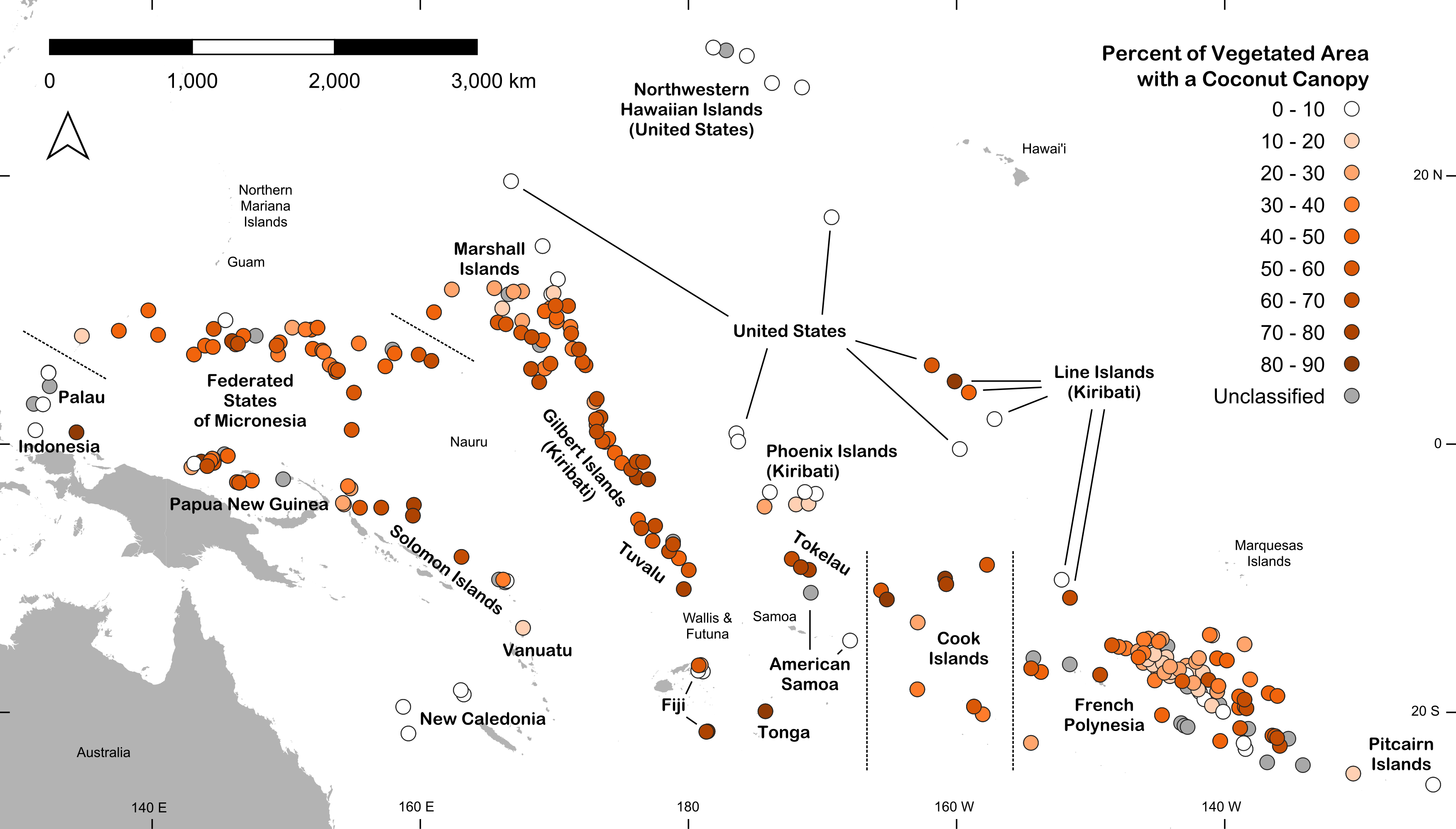
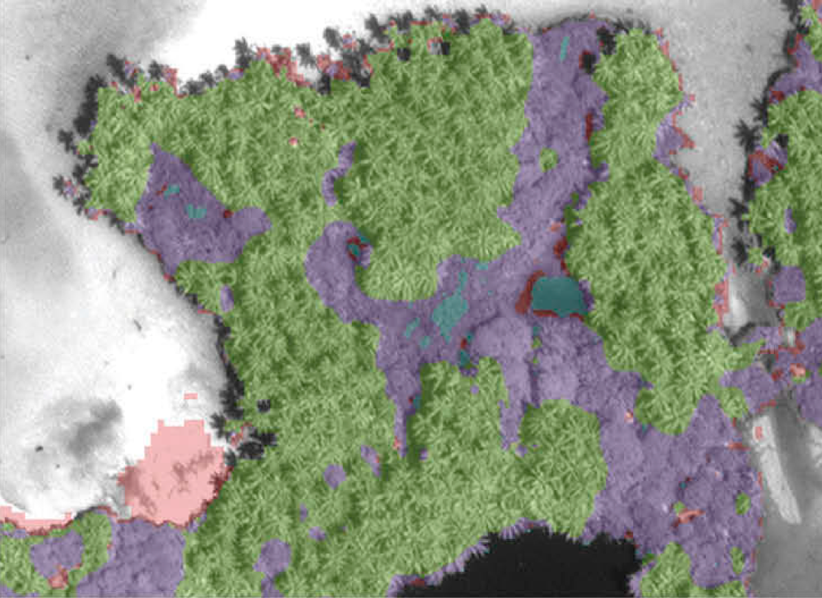
Through my work at Stanford University, The Nature Conservancy, and the University of California Santa Barbara, I have led efforts to map coconut plantations on hundreds of Pacific atolls using novel remote sensing techniques and very high-resolution satellite imagery. The resulting maps document for the first time the true extent and distribution of coconut plantations on the understudied atoll ecosystem. Read our articles in IJRS (2019), ERL (2024), and Frontiers in Env. Sci. (2026), or view the atoll vegetation maps directly on The Nature Conservancy’s Geospatial Conservation Atlas.
Do coconut plantations deplete groundwater resources on tropical atolls?
Vegetation exerts a strong influence on atolls’ scarce groundwater resources, potentially affecting the habitability of atolls for their more than 1 million residents. So how did the large-scale transformation of broadleaf atoll forests to coconut plantations affect groundwater supplies?
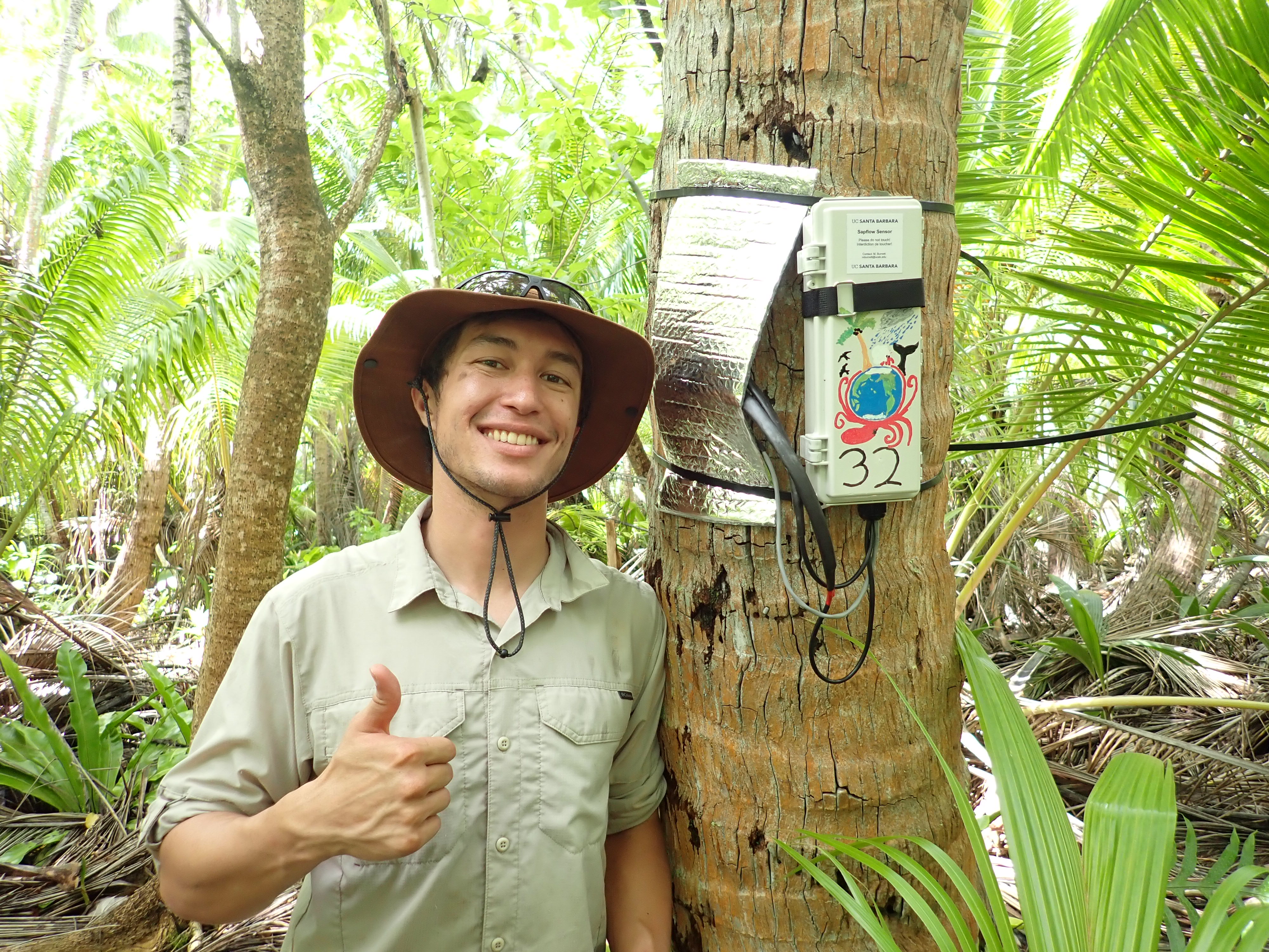
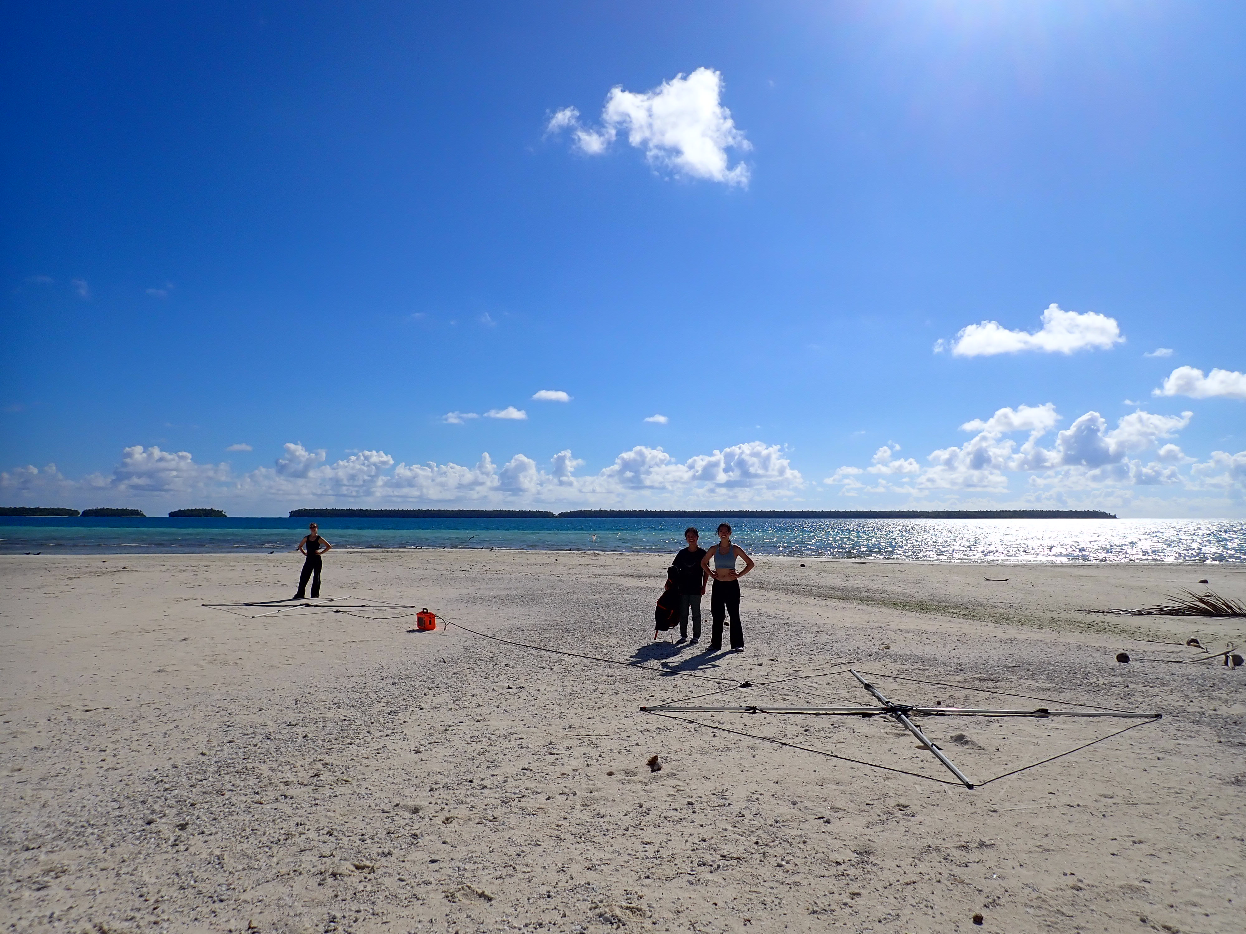
For my doctoral research, I am using over 70 custom-designed sap flow sensors on Tetiaroa Atoll to compare the water use rates of coconut palms to four woody plant species that formerly dominated the forests of the low Pacific islands. We are additionally using over 100 electromagnetic induction (EMI) profiles to directly assess the impacts of different plant species on groundwater.
Water consumption of the invasive riparian reed Arundo donax in the Santa Clara River, California
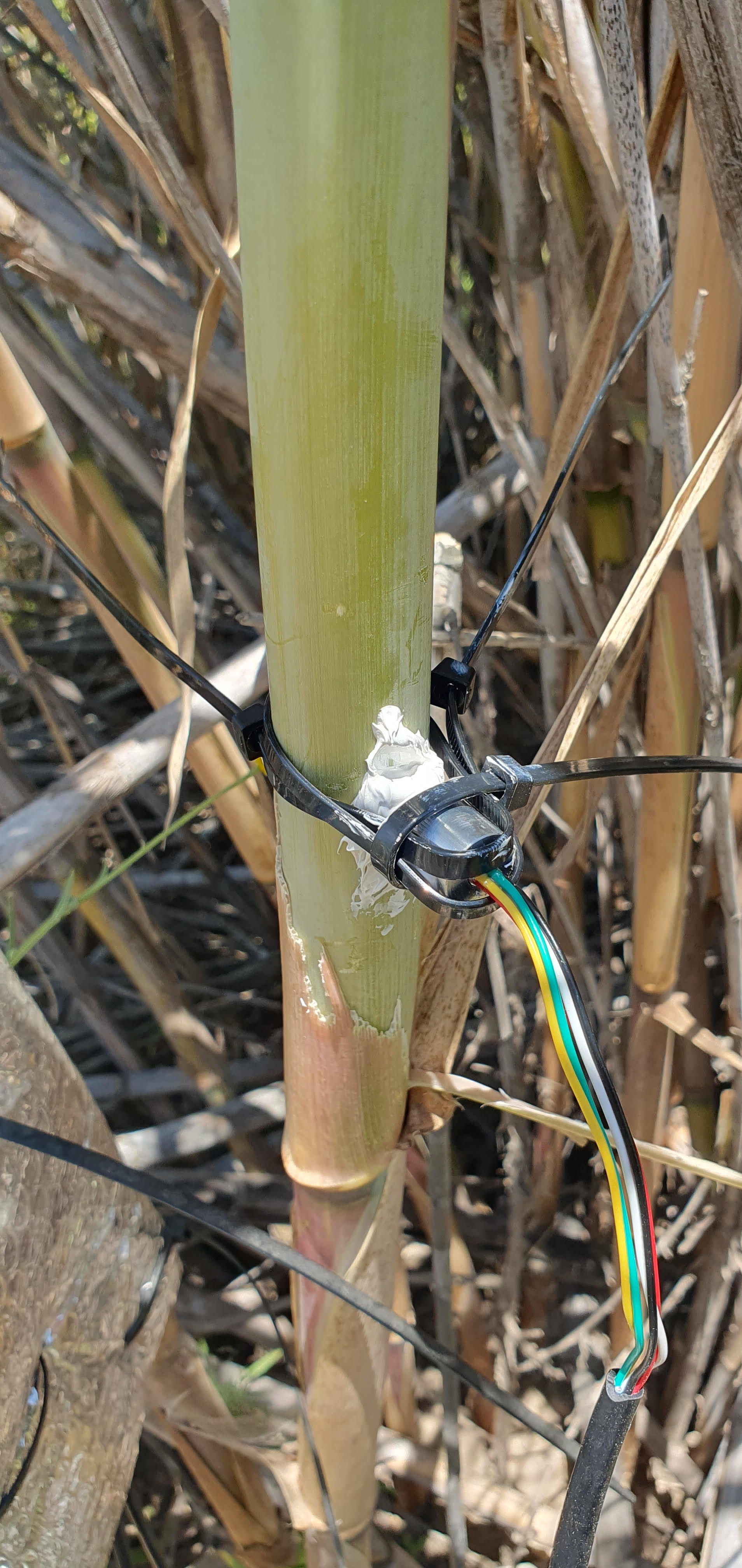
A collaborative team from UCSB, Occidental College, and Lewis & Clark College has collected three years of sap flow and stem water potential data from Arundo donax and three native riparian species along a climate gradient in the Santa Clara River.
These data will illuminate the water management implications of A. donax invasions and removal, the growth strategies used by each of the four study species, and the implications of future droughts and floods on Southern California’s critical riparian ecosystems.
Sap flow sensor design and methodology

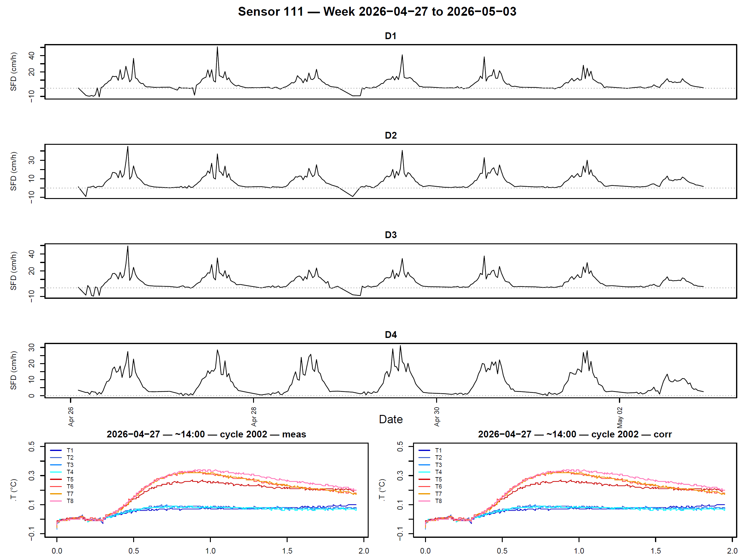
Sap flow sensors are often cost-prohibitive, especially at the quantities needed to ensure robust sample sizes. Building on previous work by Justin Beslity, I designed low-cost heat pulse velocity sap flow sensors that can be customized to suit a variety of different plant species. The sensors are run by Arduino-based data loggers, measure up to four different depths simultaneously, and can run for up to eight months on a single battery charge with no need for solar power or long wire connections.
To date, my team at UC Santa Barbara has built over 200 sap flow sensors and deployed them in four different study systems. Eventually we reached marginal costs of $200 and 5-6 hours per sensor, but many hours of development, testing, and maintenance were also required. Tutorials and resources for building sap flow sensors can be found on the DIY Sensors page.
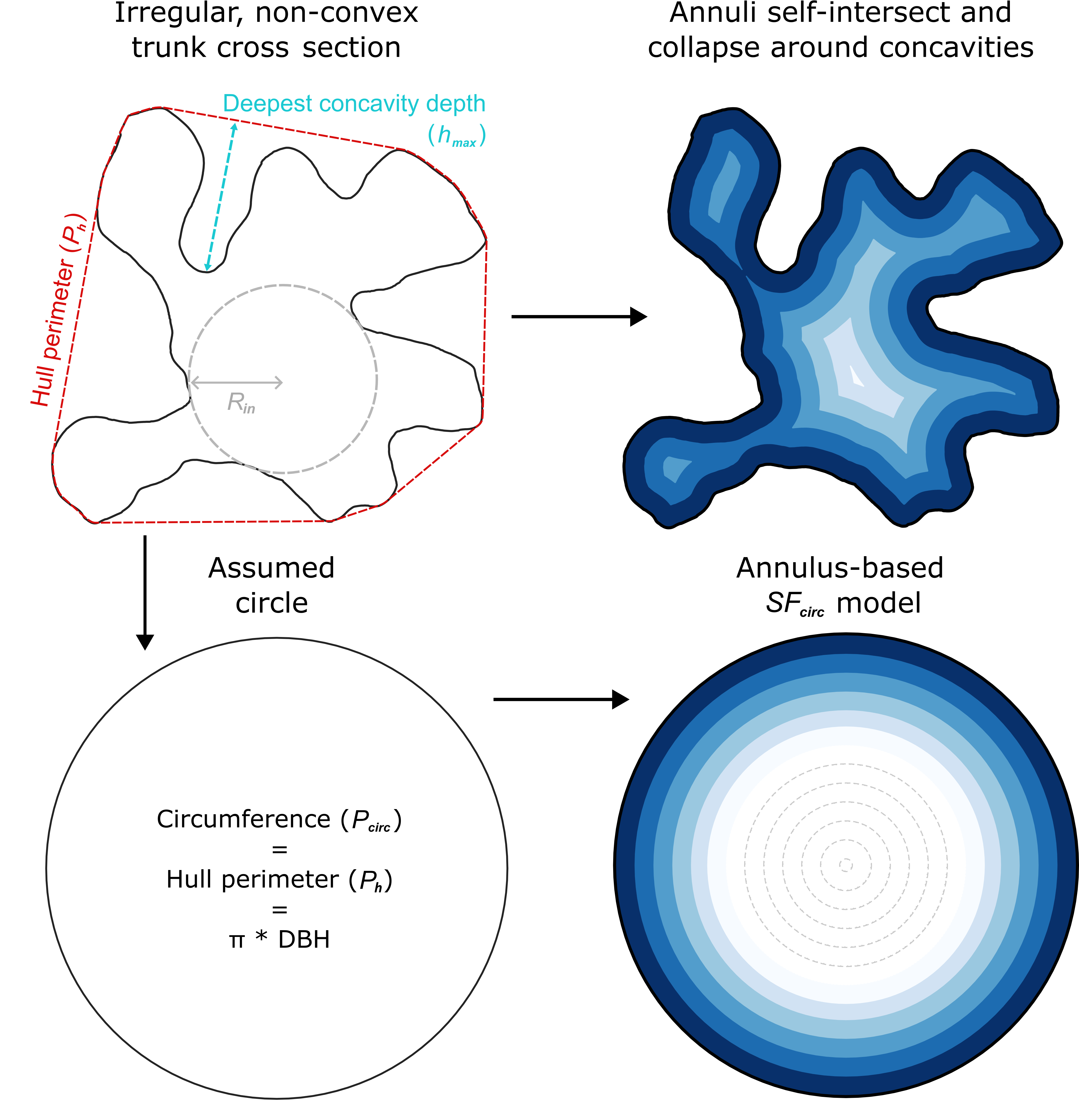
In addition, I have developed new theory to upscale sap flux density measurements to sap flow estimates in trees with non-circular trunks (see our recent article in Agricultural and Forest Meteorology!). The sapscaleR R package implements these theoretical advances. Currently, I am developing new software to model wound and xylem heterogeneity effects on sap flux density estimates.
Coconut crab habitat associations and conservation
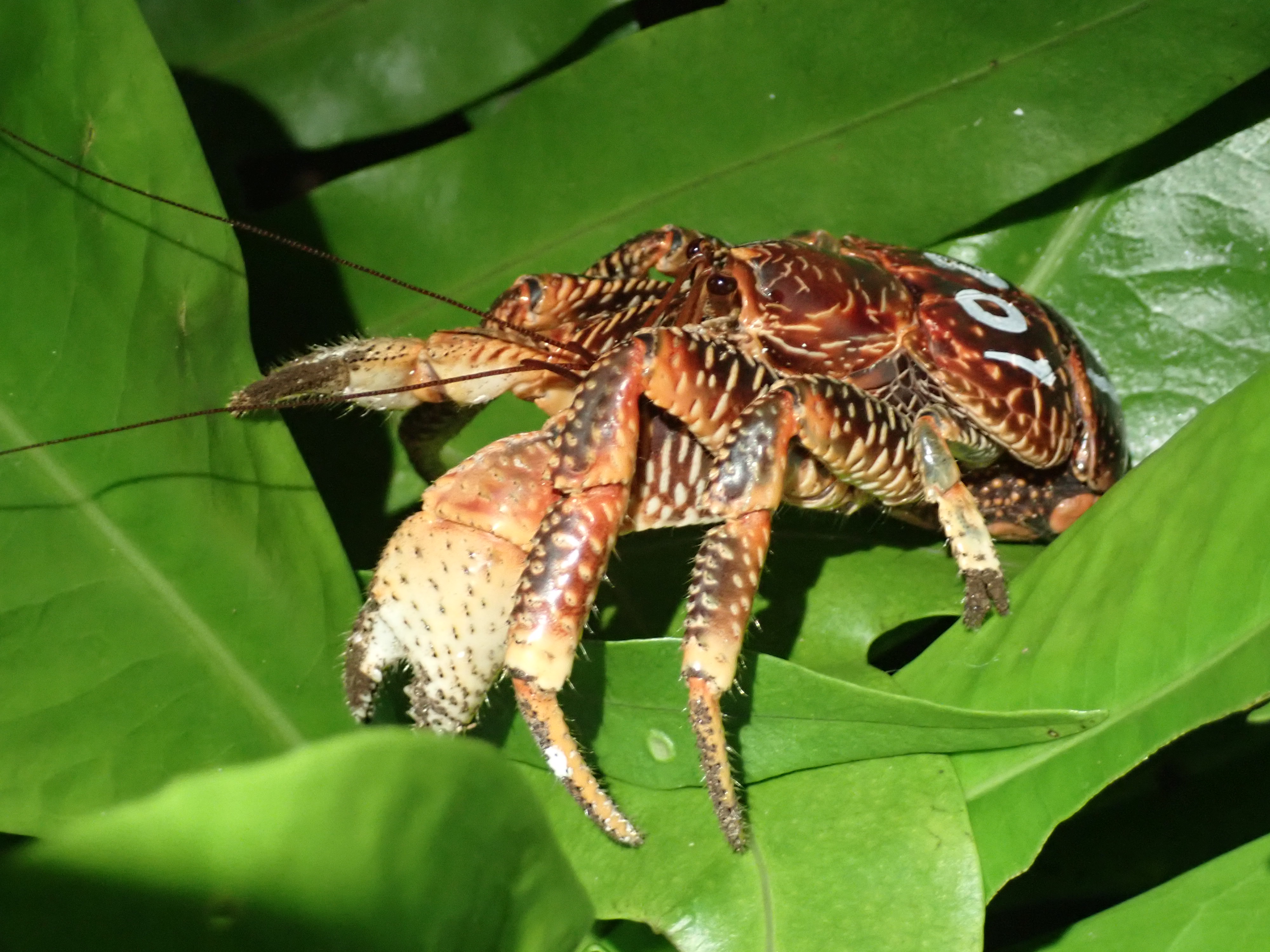
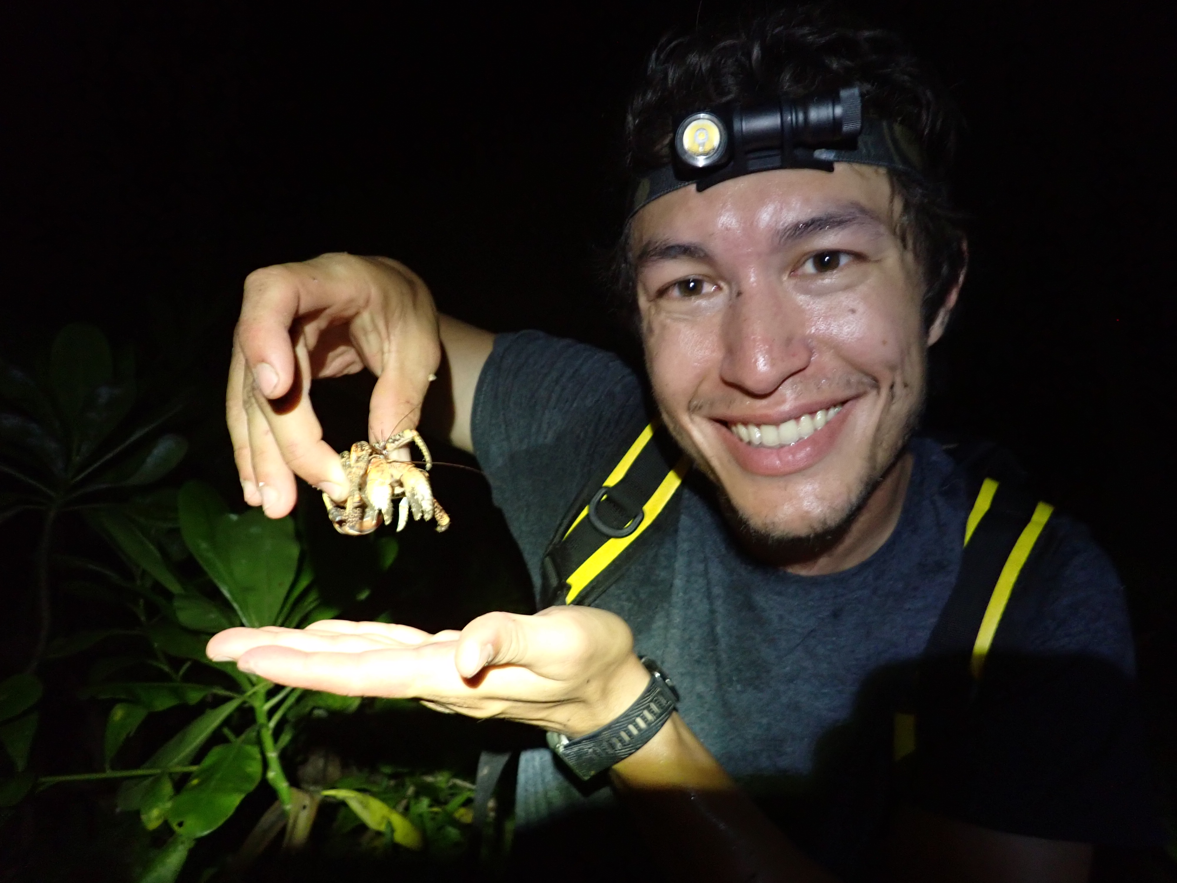
Coconut crabs are charismatic and dominant members of atolls’ terrestrial ecosystems, yet surprisingly little is known about their responses to habitat destruction and rat invasions, both common forces on Pacific atolls.
Surveys from over 20 Pacific islands have shown that coconut crabs are much more common in broadleaf native forests than in coconut monocultures, and mark-recapture modeling on Palmyra Atoll demonstrates that rats appear to impact the size distribution of coconut crabs, even in the absence of human harvesting. Additional GPS-tagging work executed on Palmyra will shed light on the movement ecology of coconut crabs living in a protected population.
Advanced land cover classification across discontiguous images
Very high resolution multispectral data from satellite imaging platforms allow for the classification of land cover at high levels of detail. However, classifying large regions of interest with such data will typically require many different images be used. These will most likely feature variable imaging times, viewing angles, atmospheric conditions, and sensor specifications, preventing the accurate classification of the entire region of interest from small training datasets.
While prior literature typically approaches this problem by attempting to normalizes images such that every class features similar visual characteristics across all images, these approaches typically rely upon overlapping regions in the imagery and/or some prior knowledge of the class composition of each image. But in certain conservation planning applications, regions of interest may be spatially discontiguous and training data may not be available for all images.
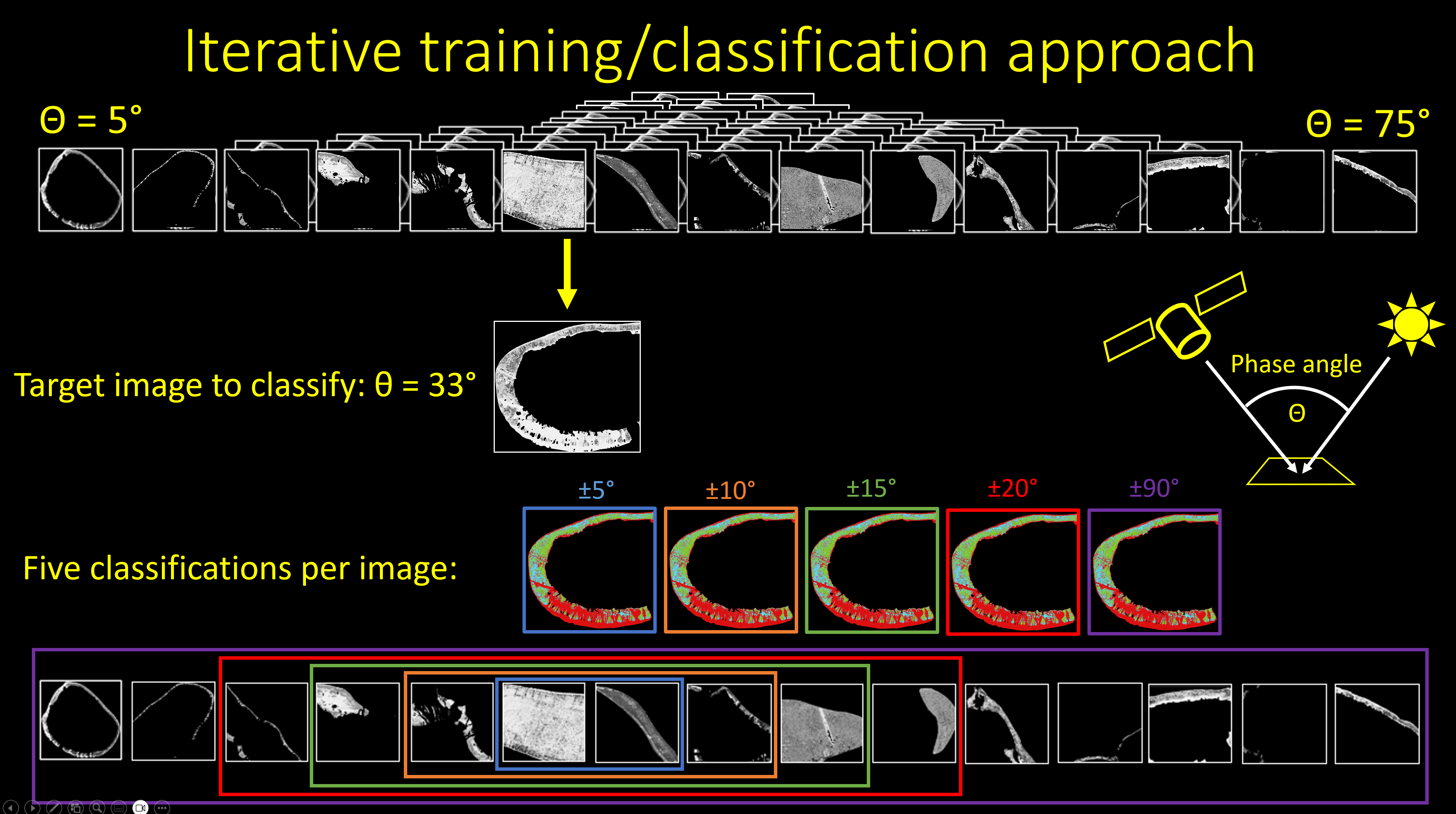
For such applications, I developed a novel classification approach based on every image’s “phase angle”, or the great circle angle between the sun and the sensor from the perspective of the imaged land surface. The phase angle appears to correlate to spectral and textural features within each class and could thus be a valuable way to cull training data. Training data are first produced for a subset of images spanning the range of phase angles present in the dataset. Then each image is classified five times: once with the full training dataset, then with only training data from images whose phase angle is within 20 degrees of the target image’s, then again within 15 degrees, etc. One of the five candidate classifications is then chosen based on validation data or visual inspection. For most images the all-training-data classification is the most accurate, but for images with unique visual characteristics, restricting training data to those produced from images with similar phase angles improves accuracy. See Burnett et al. (2024) for an application of this method to a dataset of over 400 WorldView-2 images!
Cloud water intereption along altitudinal and structural gradients in montane tropical forests
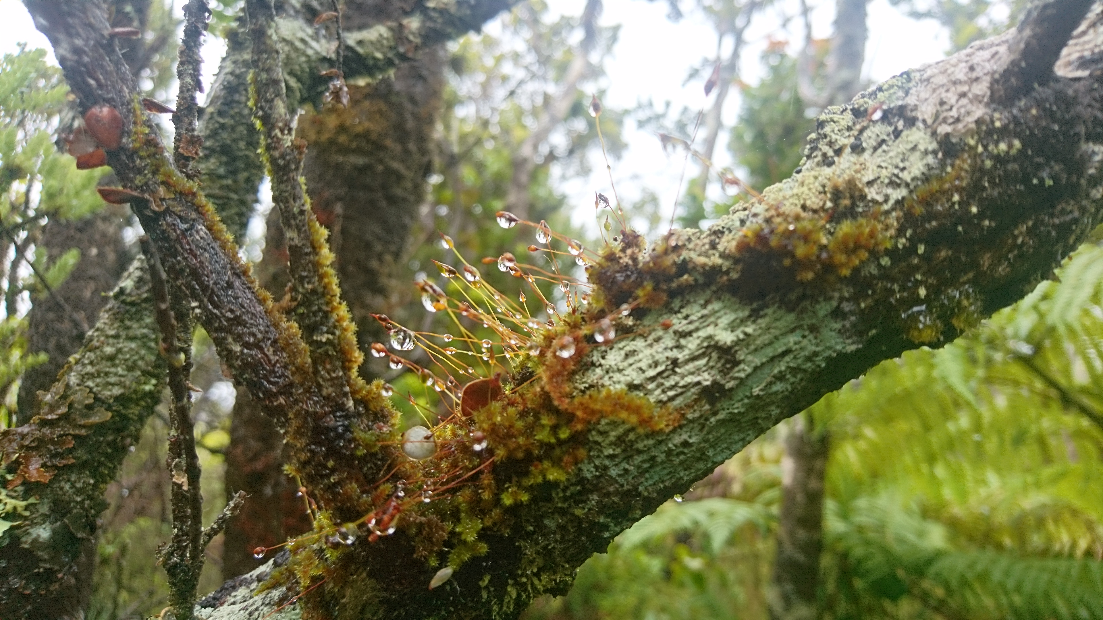
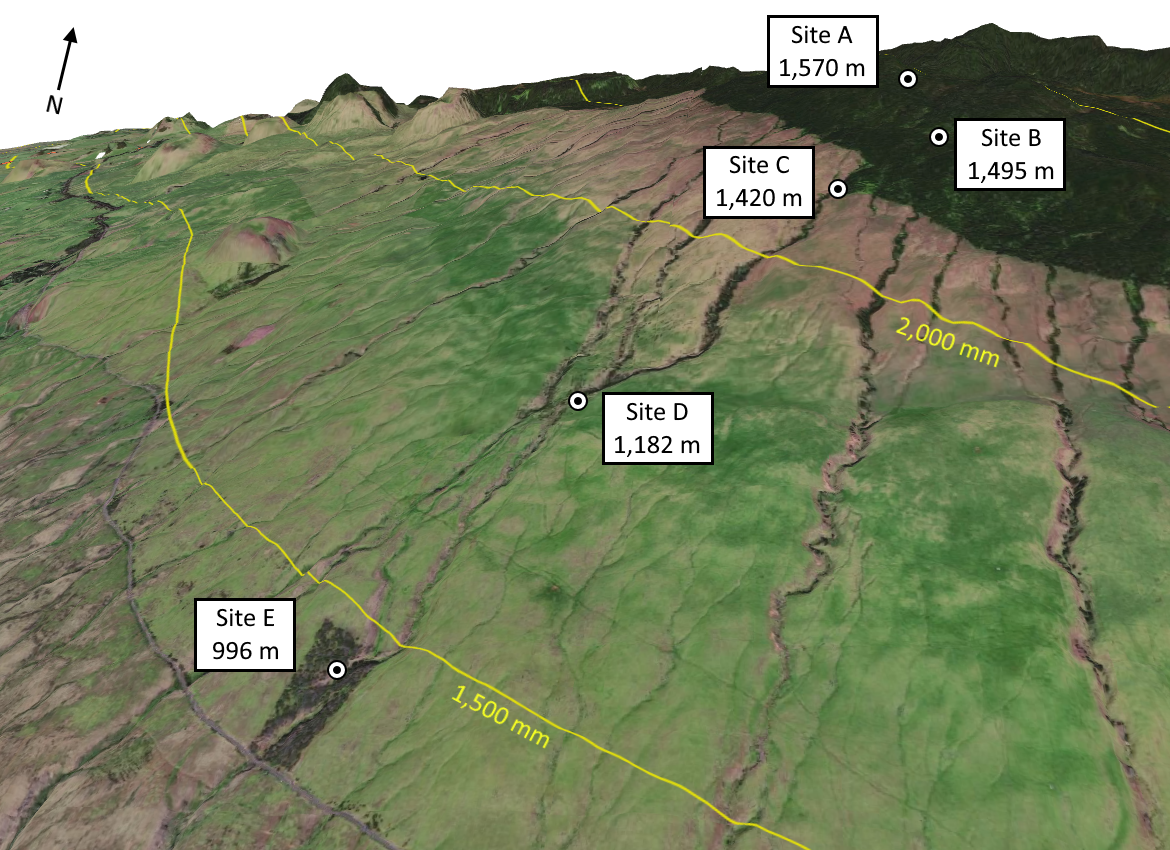
Cloud water interception can be a critical source of water for montane tropical forests and a signficiant component of the water budget for entire watersheds. On Kohala, Hawaii Island, tropical forests have been replaced by pastureland at all but the highest elevations. How might this loss of surface roughness affect the water budget of Kohala’s dry leeward slopes?
For my MS thesis at Stanford University, I used large arrays of plastic buckets to sample throughfall and rainfall at several forested sites on leeward Kohala. Wind-blown cloud water represented a significant input of precipitation at the highest-elevation sites, but these inputs decreased substantially at lower elevations. Stand structure also appears to modulate the amount of cloud water intercepted by the forest.
I am currently experimenting with novel hierarchical approaches to integrate roaming and stationary gauge data into more robust estimates of throughfall. Terrestrial laser scanning at the study sites may also yield deeper insights into the effects of forest structure on precipitation partitioning.
Understanding the agricultural practices of an ancient Hawaiian field system
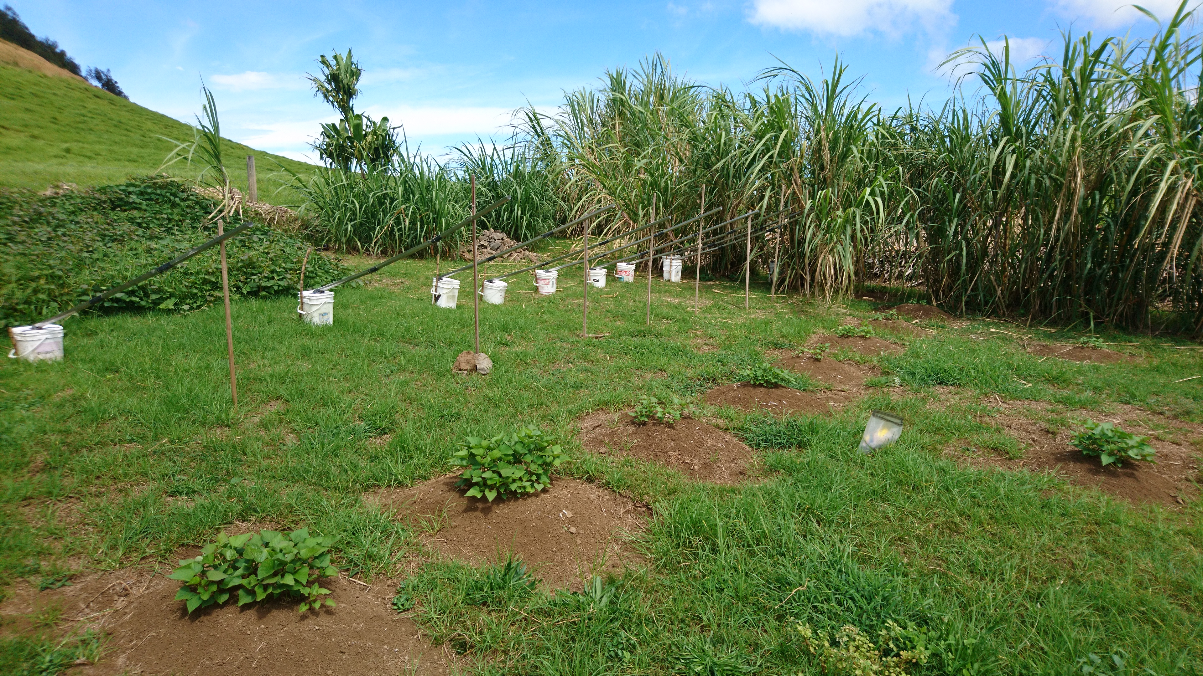
In collaboration with Ulu Mau Puanui and students of the Wrigley Field Program in Hawaii, I used microclimatic measurements and experimental garden plots to evaluate the multifaceted role of sugarcane (ko) rows in the ancient Leeward Kohala Field System (LKFS). At its peak, the LKFS fed tens of thousands of people, but many of the practices of its stewards were lost after its abandonment in the 1800s. We found that the ko rows likely played a variety of roles in the LKFS, decreasing wind damage at high elevations and concentrating wind-blown moisture at lower elevations. These findings can help the next generation of stewards design resilient, productive cropping systems atop the ancient walls of Kohala. Read our 2024 Pacific Science article for more details!
Hydroclimatic modeling of the Congo Basin
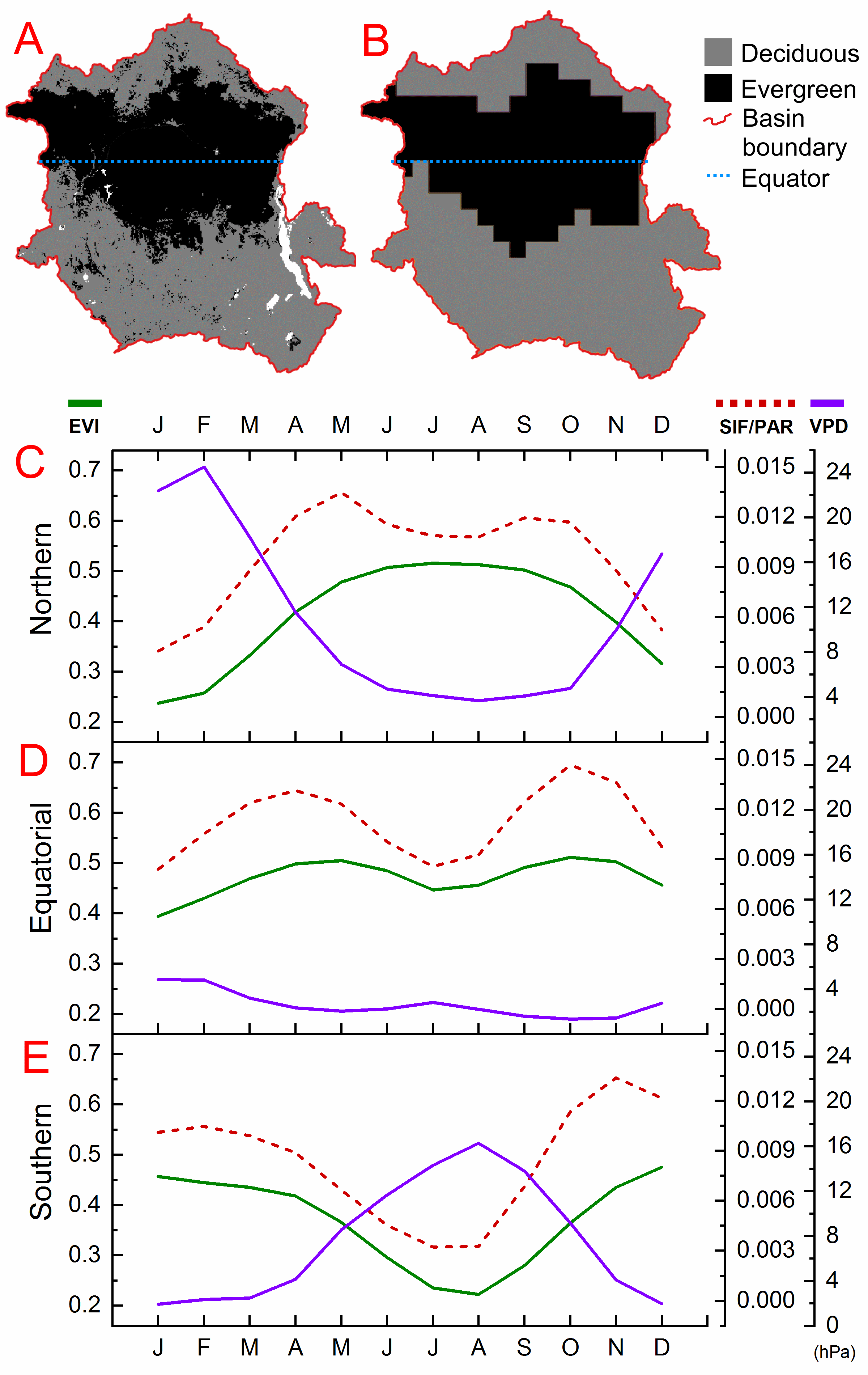
With Dr. Alexandra Konings’ Remote Sensing Ecohydrology Group at Stanford University, I used data from river gauges, the gravity-sensing GRACE satellites, and several cutting-edge precipitation models to estimate monthly, basin-scale evapotranspiration (ET) from the Congo Basin in central Africa. An new precipitation dataset was derived from triple collocation to support our water balance model. We found that existing ET products severely underestimated the seasonal and interannual variability of ET over the Congo Basin. These underestimations severely hamper our ability to model regional and global climate dynamics, as the Congo is one of the Earth’s three major rainforest areas and cycles tremendous amounts of water between the biosphere, hydrosphere, and atmosphere.
We additionally examined the drivers of evapotranspiration from this understudied tropical forest region using a wide array of data products, finding that the seasonal mismatch of ET and precipitation can be explained by seasonal variations in diffuse radiation fraction, net radiation, and soil water availability. Read more in our 2020 HESS paper!
Biological Nitrogen fixation: drivers across environmental gradients
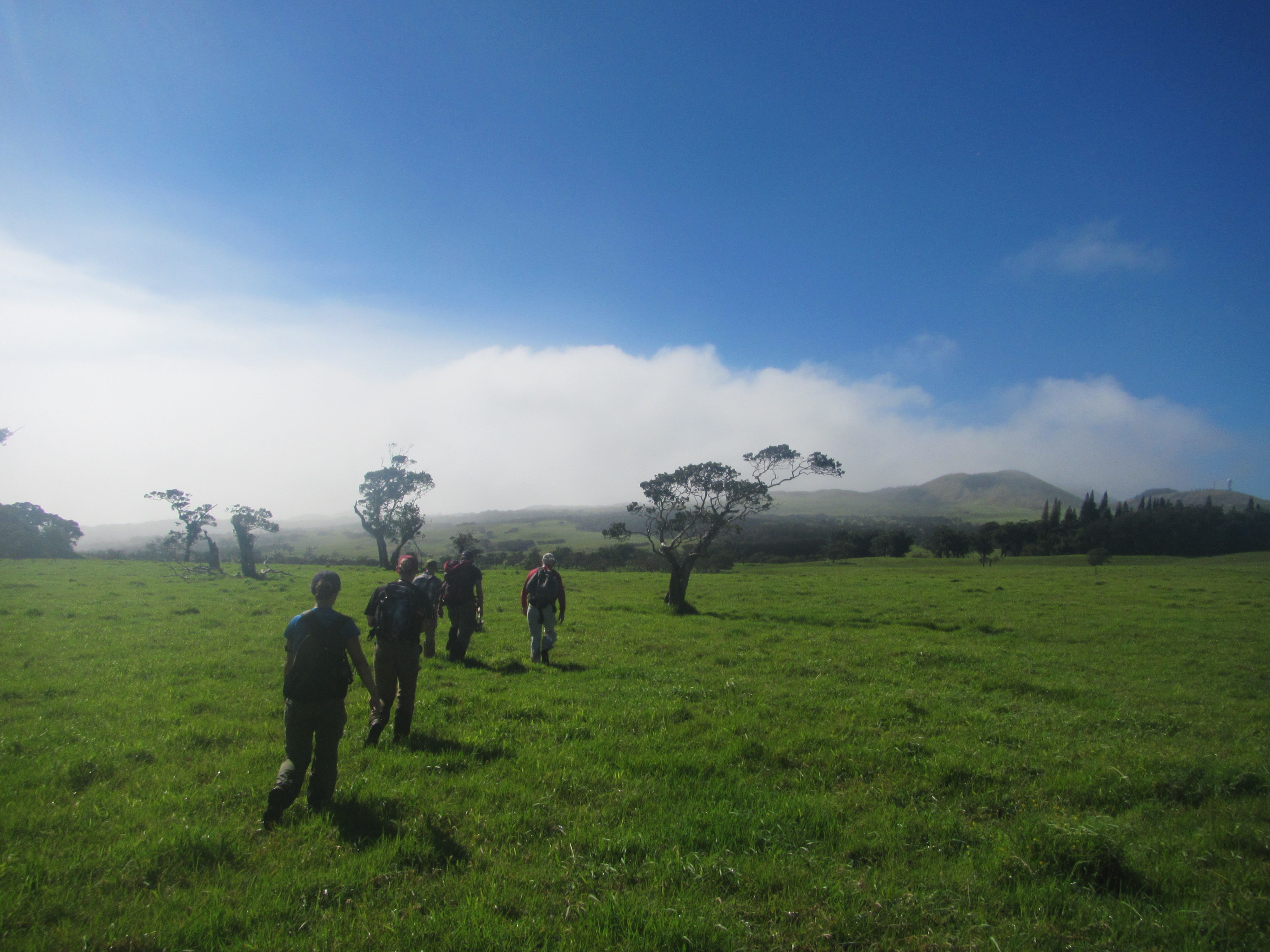
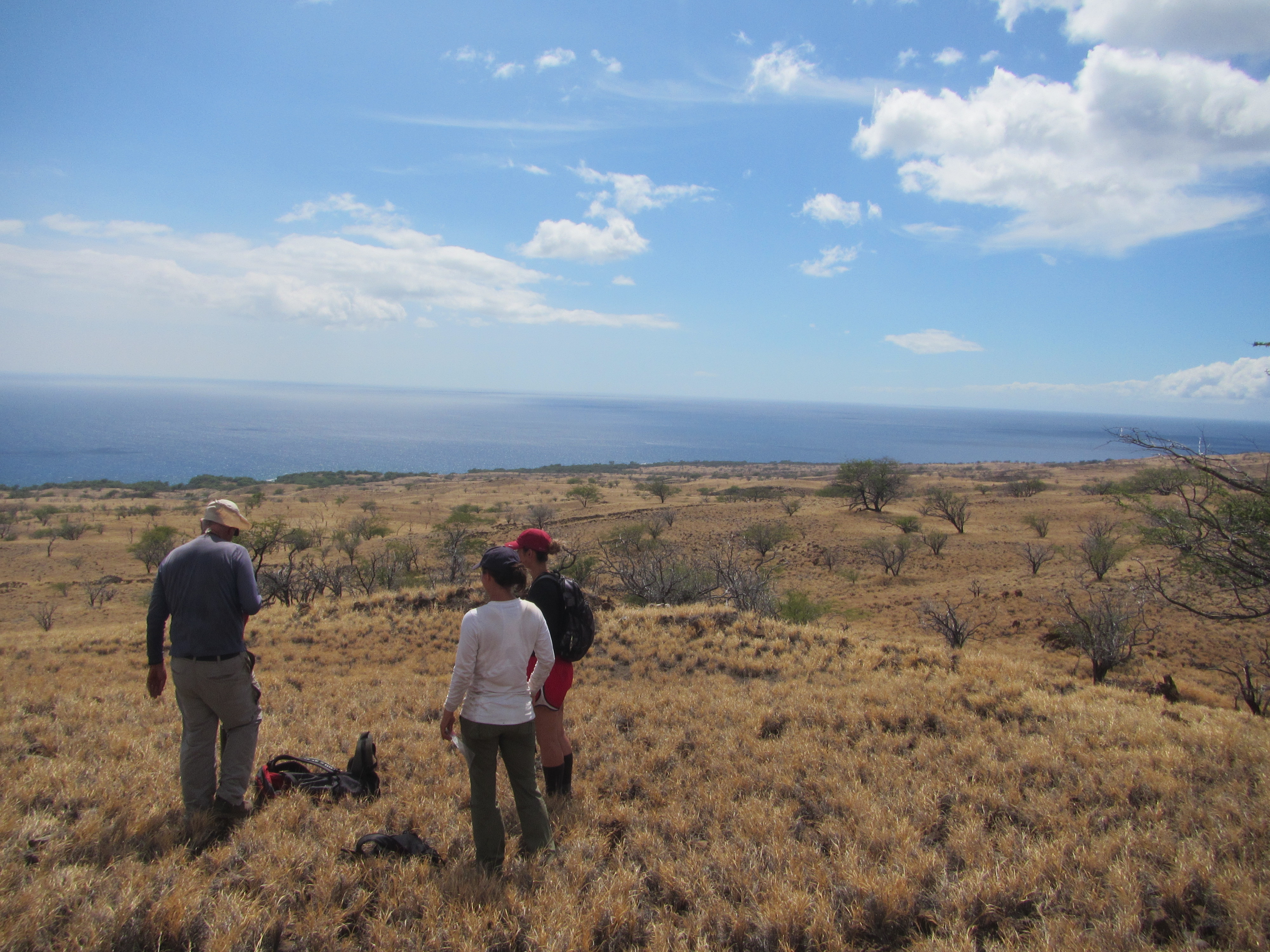
For my senior Honors Thesis with Dr. Peter Vitousek at Stanford University, I examined the prevalence of N fixation across a well-studied climate gradient on Leeward Kohala, Hawaii Island. I found that despite the mobility of N in ecosystems, the fraction of N derived from symbiotic N fixation corresponded with known pedogenic thresholds in rock-derived nutrients. This finding suggests that contrary to conventional knowledge, pedogenic thresholds in much less mobile nutrients may control the ecological dynamics of N fixation when other limiting factors are not more immediate. Read the published version of the thesis in Oecologia.
Dryland vegetation restoration in Hawaii
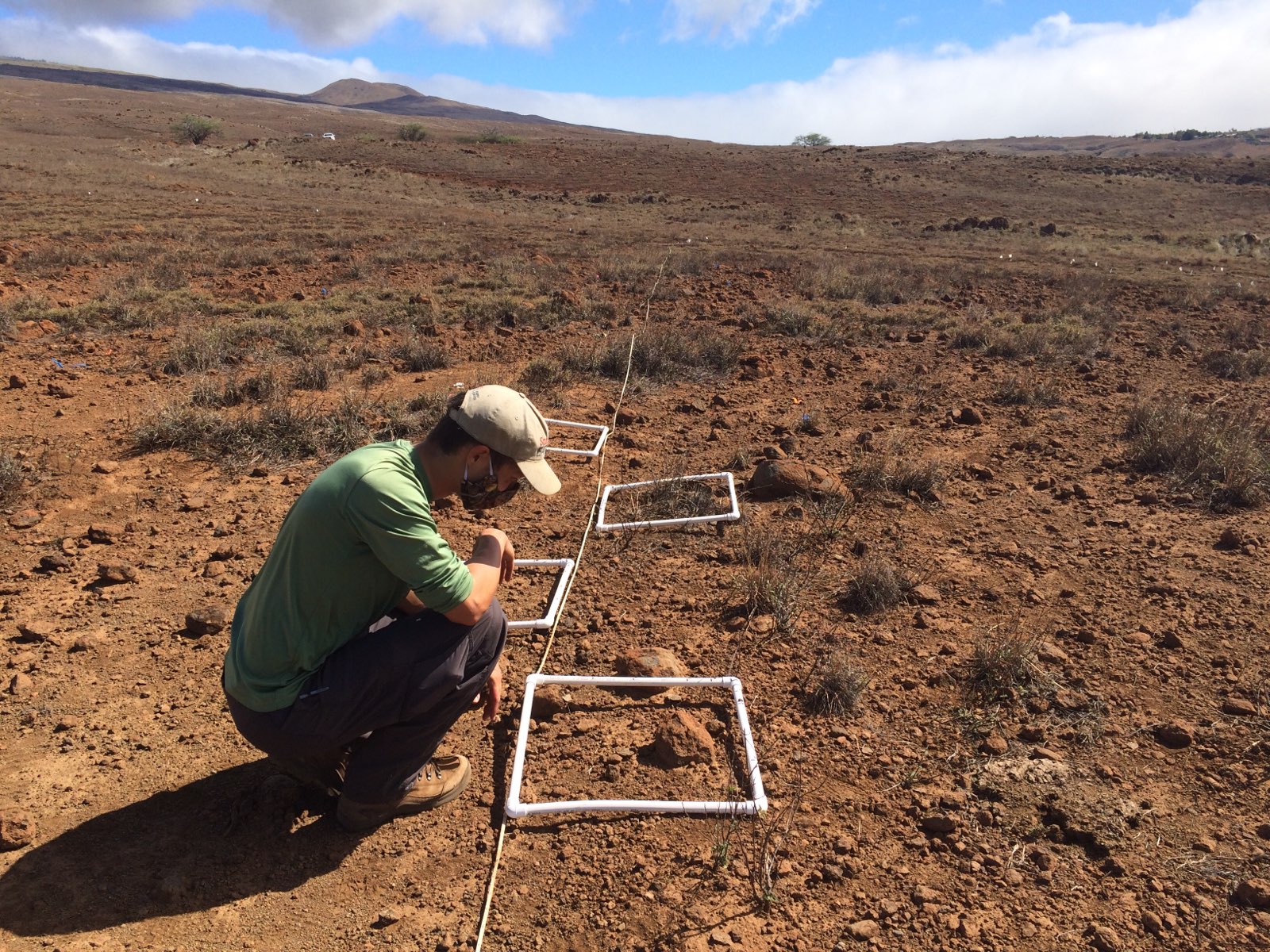
Beginning in 2020, I led monitoring activities for a restoration effort on the slopes of the Pelekane Watershed, Hawaii Island, where grazing by cattle and invasive goats have severely degraded vegetation cover and amplified erosion. We tested several revegetation strategies including outplanting, broadcast seeding, hydromulching, and topographic enhancement in the challenging, arid environment. Our findings will help future restoration efforts in Hawaii’s dry watersheds.